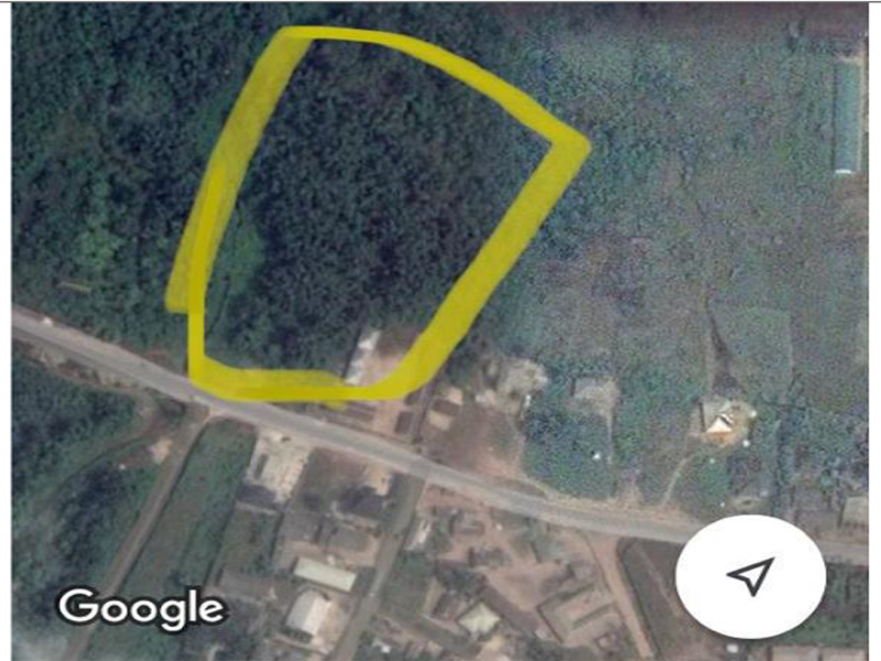
The geographical location of the new terminal is 5º 37' 30"N, 5º 57'3.92"E. This position is on 9.1km W x NW of Sapele, 42.6km S of Benin City, 46.7km NW of
Ororokpe
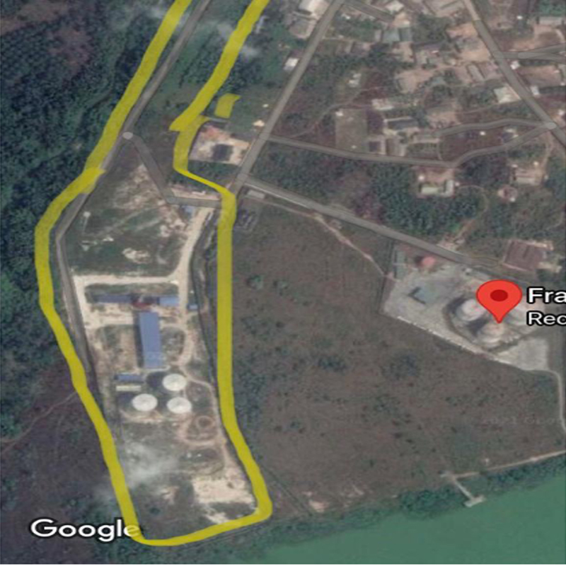
STOGAS Energy Village is strategically located and is accessible to both marine (via pipeline to jetty facilities) and road tankers. It is located 472M West of FRADRO INTERNATIONAL LIMITED depot, 598M West of BLACK LIGHT depot, 2,076M West of Othniel depot, 2,242M West of NEPAL PETROLEUM depot and 2,841M West x North West of RAIN OIL PETROLEUM depot. It is equally bounded in the South by Ethiope River.
Accessibility
STOGAS Energy Village is accessed via marine through River Ethiope (with a 10,000 to 60,000 tons oil cargo vessel – Seawaymax) and land access through the Benin – Warri express way in Nigeria. Advantageous are the two (well surfaced, Asphaltic, Dual Carriage Way Road) access from the Benin – Warri express way to the terminal, which are;
- The Ajagbodudu to Koko Express Way – Koko junction on the Benin to Warri express way. This road is free of traffic as STOGAS energy village is the last depot on this stretch of road. Therefore Trucks have unhindered access to the Benin Warri Express way.
- The second access is the dual carriage via the Oghara Community town to the Benin – Warri Express way – slit traffic
General Geography & Climatic Data
Oghara is a town in Ethiope West Local Government Area of Delta State, Nigeria. It is one of the major clans of the Urhobo ethnic group.
Urhobo land is located in the western part of the Niger delta, south of latitude 6° N. It is a contiguous territory of about 5000 square kilometers in the southern part of Delta State of Nigeria. It
is bounded by latitudes 5 ° 15′ N and 6° N and longitudes 5° 40′ E and 6° 25′ E respectively.
The whole of Urhobo land is a low-lying plain consisting mainly of recent unconsolidated sediments
of Quaternary age. These sediments are partly of marine and partly of fluvial origin. Land elevation is generally under 50 meters above mean sea level and there is a marked absence of imposing hills
that rise above the general land surface. The area is traversed by numerous flat floored rivers that drain into the Atlantic Ocean. The most important rivers are the Ethiope, Warri and the Kiagbodo. These rivers are prone to flooding, especially during the wet season, mainly because of the heavy rainfall, high ground water table and the flat-floored valleys. Large stretches of most rivers, especially the lower reaches of the Ethiope, Warri and the Kiagdodo rivers are permanently waterlogged.
The availability of the Delta State University Teaching Hospital here in Oghara provides very good medical coverage for the entire as a backup for critical medical issues
Security
Oghara being the local government headquarter of Ethope West Local Government area, the presence / activities of Nigeria security agencies are very vivid. The entire Oghara area is secure by the following security Agencies
Oghare is home to Nigeria Naval Logistics Command Whom plays a major role in the securing the area with combine effort from Koko Base Nigeria Army JTF
Mopol – squadron 51 is based here at Oghara with full control over all road entry point into Delta state and coordinated from the oghara base
Divisional police station is present in the area and active too.
The Oghareki vigilante watch is also very active in the area.